Press Release: Polk County Transit on Google Maps
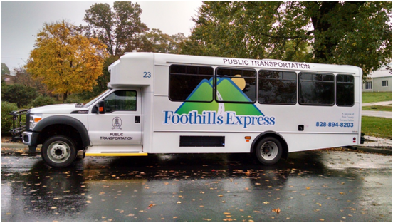
With the help of The Institute for Transportation Research and Education (ITRE), Polk County Transit is proud to announce the launch of our public transit system on Google Maps! Transit Data for the county is now available through Google Maps to allow riders to plan trips and get directions using our transit service.
We are pleased to welcome Polk County Transportation Authority to Google Maps. This partnership shows Polk County’s commitment to innovating, as well as serving and attracting new riders. Together we can provide useful and accurate information to help people quickly get to where they want to go.
-Ryan Poscharsky, Strategic Partner Manager at Google
Polk County is the just the second community transit system in North Carolina to join Google Maps and we hope our participation will encourage current ridership and connect Polk to new active riders. In addition, the Polk County Transit System will be automatically integrated into all overlapping services that may pass through, or connect to Polk County. By showing the “Public Transit” link in every search for driving directions, Google Maps in Polk County is helping to promote public transit by informing drivers of the possible transit services they could utilize.
Additional Rider/Citizen Benefits:
- Customize your route: Riders don’t have to sort through timetables — they can simply enter the date and time that they hope to arrive at their destination (or depart for the trip) and the trip planner will provide the most convenient trip.
- Walking directions: Google Maps can provide walking directions, so you can find out exactly how to get to the nearest transit stop or station, and how to get to your destination once you leave the bus.
- Rich data integration: No other online mapping service puts transit data in the context of so much other useful information, such as areal imagery, business listings, user reviews, and street-level views. It gives users a thorough understanding of the neighborhood before they set foot on it.
- Information accessible by mobile: Transit trip planning is also available on mobile phones (such as iPhone, Blackberry, Windows Mobile, S60, and other Java enabled phones). Transit information is now available at people’s fingertips no matter where they are.
- Using business names or place names instead of addresses: You don’t need to know which pizzeria you are going to or its address in order to get directions; with integrated local search results, this means that you don’t need to know exactly where you’re going — in the “to” and “from” fields, you can enter a business name (“Tom’s Pizza”) or category (“pizza”) instead of a specific street address.
- Street View imagery of locations: Google Maps offers Street View ground-level images in hundreds of cities and towns across the country; this allows riders to preview a transit station or stop, to see things like whether it’s above ground or underground, whether there is a covered shelter or bench, where exactly the stop/station is located, how far it is from a business, and other practical uses (Example: Tryon Bus Stop).
- Support for over 40 languages: We support multiple languages in Google Maps so it is very convenient for foreign language riders, whether residents or international tourists, to find directions and information in their native language.